Trail Walking Orcines - Fontaine_Berger_Clierzou - Photo
 jagarnier
jagarnier

User GUIDE

© OpenStreetMap contributors
Length
Length
12.2 km
Max alt
Max alt
1193 m
Uphill gradient
Uphill gradient
431 m
Km-Effort
Km-Effort  
17.9 km
Min alt
Min alt
927 m
Downhill gradient
Downhill gradient
431 m
Boucle
Boucle
Yes
Creation date :
2020-07-04 04:13:43.506
Updated on :
2025-04-17 08:01:57.106

(1 Reviews)

Walking
Walking
3h30
Difficulty : Medium

Scan this QR Code to open this trail in the SityTrail application

FREE GPS app for hiking

Logo SityTrail SityTrail

IGN / Geographical institutes

Download SityTrail from the App Store Download SityTrail from Google Play

Logo SityTrail SityTrail Plus

The world is yours!

Download SityTrail from the App Store Download SityTrail from Google Play Download SityTrail on Huawei AppGallery

About

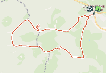
Trail Walking of 12.2 km to be discovered at Auvergne-Rhône-Alpes, Puy-de-Dôme, Orcines. This trail is proposed by jagarnier.

Description

Au départ de la Fontaine du Berger, vous admirerez la vues sur les sommets environnants.
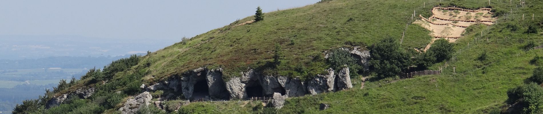
Vous monterez ensuite au sommet du Clerziou où vous aurez une vue magnifique sur le Puy de Dôme.
Les grottes du Clerziou, d'origine humaine, ont été exploitées au II ème siècle par les Romains pour en extraire des blocs destinée à l'édification du temple de Mercure au sommet du Puy de Dôme.

Elevation profile

Photos

Positioning

Country:
France
Region :
Auvergne-Rhône-Alpes
Department/Province :
Puy-de-Dôme
Municipality :
Orcines
Location:
Unknown
Start:(UTM)
499352 ; 5071695 (31T) N.

Comments

Please log in to post a review or rate the element


super merci


Close
My subscriptions