


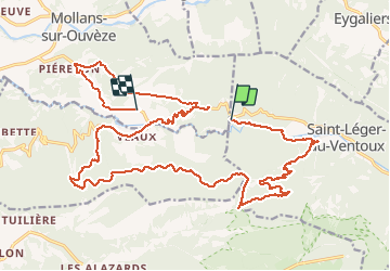

19.1 km | 30 km-effort

User


FREE GPS app for hiking
 SityTrail
IGN / Geographical institutes
SityTrail World
The world is yours!
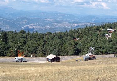
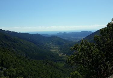
Trail Walking of 28 km to be discovered at Provence-Alpes-Côte d'Azur, Vaucluse, Saint-Léger-du-Ventoux. This trail is proposed by Atchoum26.
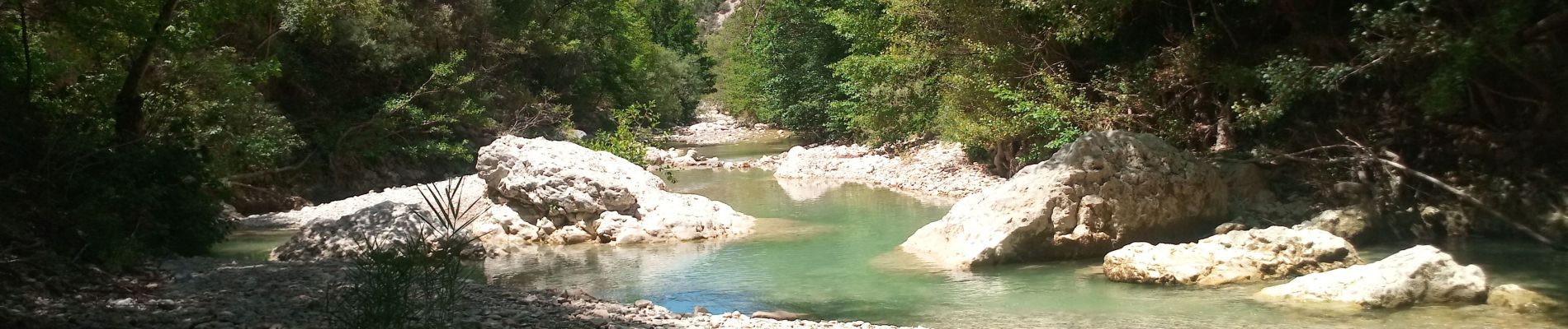
rando sympa le long des gorges mais très longue pour le retour dans le col de Comte. Reste tout de même un petit retour single sympa à la fin.


Walking

Walking
On foot
On foot
On foot
On foot
On foot
Walking
Walking