


gg

THIOLIER
User
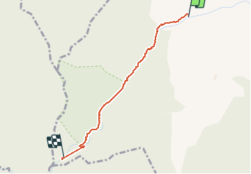

Length
2.4 km

Max alt
582 m

Uphill gradient
113 m
Km-Effort
3.6 km

Min alt
467 m

Downhill gradient
18 m
Boucle
No
Creation date :
2020-07-05 07:35:40.093
Updated on :
2020-07-05 15:21:48.923
2h42
Difficulty : Very easy

FREE GPS app for hiking
 SityTrail
IGN / Geographical institutes
SityTrail Plus
The world is yours!
About
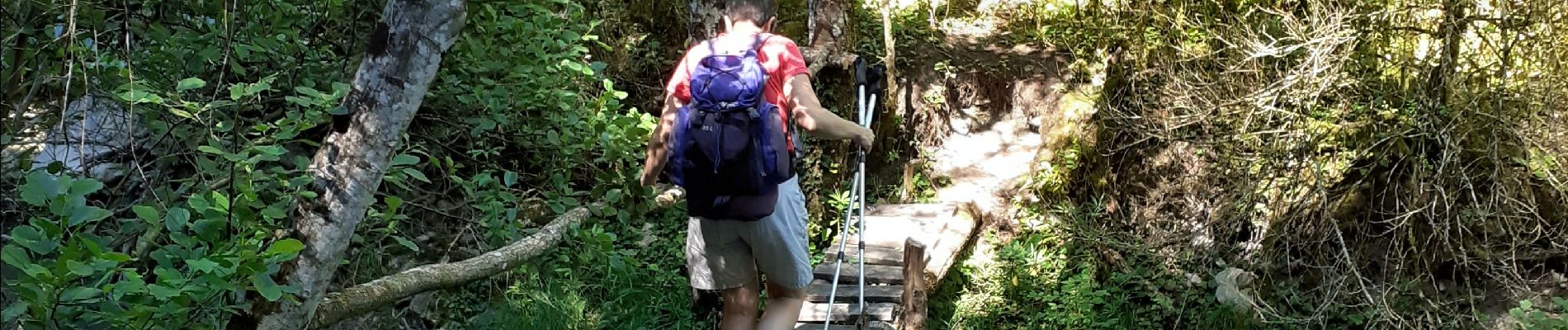
Trail Walking of 2.4 km to be discovered at Auvergne-Rhône-Alpes, Drôme, Pradelle. This trail is proposed by THIOLIER.
Description
la courance riviere
Photos

Positioning
Country:
France
Region :
Auvergne-Rhône-Alpes
Department/Province :
Drôme
Municipality :
Pradelle
Location:
Unknown
Start:(Dec)
Start:(UTM)
680265 ; 4945004 (31T) N.
Comments