


32 km | 40 km-effort


User


FREE GPS app for hiking
 SityTrail
IGN / Geographical institutes
SityTrail World
The world is yours!
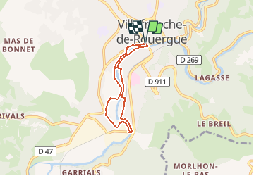
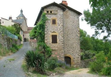
Trail Walking of 5.3 km to be discovered at Occitania, Aveyron, Villefranche-de-Rouergue. This trail is proposed by neitag61.
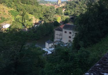
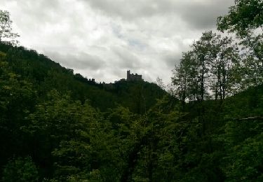
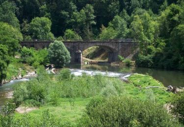
Randonnée / Balade qui suit les berges de l'Aveyron. Le sentier et le parcours sportif, sont aménagés de part et d'autre de l'Aveyron et ont pour vocation de vous faire découvrir la rivière et ses abords. Au rythme du lièvre ou de la tortue, le parcours vous permettra de vous familiariser avec la richesse et la diversité de la faune et de la flore : Iris des marais, herbiers aquatiques, loutres, crapauds communs, libellules... Vous découvrirez également, une signalétique dédiée au patrimoine bâti et paysager, et un parcours sportif.

Hybrid bike

Walking
Road bike
Walking
Walking
Cycle
Cycle
Mountain bike
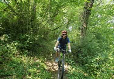
Mountain bike