


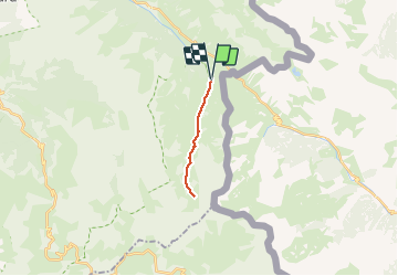
Les lacs du Lauzannier et de derrière la croix - col de Larche

soca
User

Length
13.3 km

Max alt
2450 m

Uphill gradient
577 m
Km-Effort
21 km

Min alt
1904 m

Downhill gradient
578 m
Boucle
Yes
Creation date :
2020-07-06 15:48:43.981
Updated on :
2020-07-06 15:51:09.283
4h20
Difficulty : Medium

FREE GPS app for hiking
 SityTrail
IGN / Geographical institutes
SityTrail Plus
The world is yours!
About
Trail Walking of 13.3 km to be discovered at Provence-Alpes-Côte d'Azur, Alpes-de-Haute-Provence, Val-d'Oronaye. This trail is proposed by soca.
Positioning
Country:
France
Region :
Provence-Alpes-Côte d'Azur
Department/Province :
Alpes-de-Haute-Provence
Municipality :
Val-d'Oronaye
Location:
Larche
Start:(Dec)
Start:(UTM)
331646 ; 4920482 (32T) N.
Comments