


Dombresson-Val - d''Isère

tello
User

Length
192 km

Max alt
3565 m

Uphill gradient
23103 m
Km-Effort
497 km

Min alt
421 m

Downhill gradient
21989 m
Boucle
No
Creation date :
2014-12-11 00:00:00.0
Updated on :
2014-12-11 00:00:00.0
--
Difficulty : Unknown

FREE GPS app for hiking
 SityTrail
IGN / Geographical institutes
SityTrail Plus
The world is yours!
About
Trail Other activity of 192 km to be discovered at Neuchâtel, Unknown, Val-de-Ruz. This trail is proposed by tello.
Description
Cabane Tracuit-Sommet Bishorn
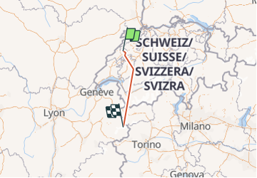
Positioning
Country:
Switzerland
Region :
Neuchâtel
Department/Province :
Unknown
Municipality :
Val-de-Ruz
Location:
Unknown
Start:(Dec)
Start:(UTM)
345049 ; 5215093 (32T) N.
Comments