


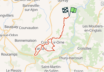

19.8 km | 25 km-effort


User


FREE GPS app for hiking
 SityTrail
IGN / Geographical institutes
SityTrail World
The world is yours!
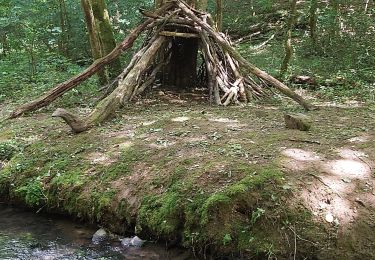
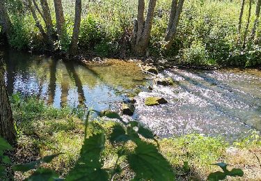
Trail Mountain bike of 28 km to be discovered at Normandy, Calvados, Montillières-sur-Orne. This trail is proposed by albers.
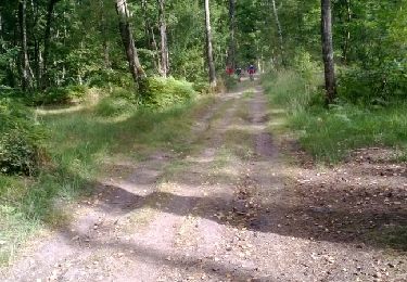
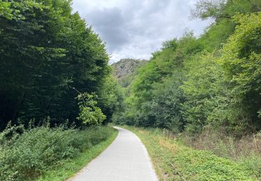
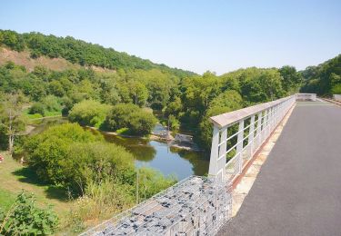
beau parcours, beaux paysages. belle descentes et que de belles montées....
avec un terrain très gras ça patine, ça patine.

Walking
Mountain bike

Running
Road bike
On foot
Mountain bike
Mountain bike
Walking