


Soum de la Siarrousse Repérage Corrigé

mitch1952
User
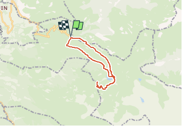

Length
12.1 km

Max alt
2004 m

Uphill gradient
756 m
Km-Effort
22 km

Min alt
1438 m

Downhill gradient
757 m
Boucle
Yes
Creation date :
2020-07-07 15:08:49.98
Updated on :
2022-06-07 10:09:15.101
4h28
Difficulty : Very difficult

FREE GPS app for hiking
 SityTrail
IGN / Geographical institutes
SityTrail Plus
The world is yours!
About
Trail Walking of 12.1 km to be discovered at Occitania, Hautespyrenees, Beaucens. This trail is proposed by mitch1952.
Positioning
Country:
France
Region :
Occitania
Department/Province :
Hautespyrenees
Municipality :
Beaucens
Location:
Unknown
Start:(Dec)
Start:(UTM)
744393 ; 4762063 (30T) N.
Comments