Trail Walking Sixt-Fer-à-Cheval - Randonnée du Bout du Monde - Photo
© OpenStreetMap contributors
Length
Length
10.7 km
Max alt
Max alt
1265 m
Uphill gradient
Uphill gradient
405 m
Km-Effort
Km-Effort  
16.1 km
Min alt
Min alt
942 m
Downhill gradient
Downhill gradient
384 m
Boucle
Boucle
No
Creation date :
2020-07-07 11:22:40.0
Updated on :
2020-07-07 20:31:53.278

(0 Reviews)

Walking
Walking
3h21
Difficulty : Medium

Scan this QR Code to open this trail in the SityTrail application

FREE GPS app for hiking

Logo SityTrail SityTrail

IGN / Geographical institutes

Download SityTrail from the App Store Download SityTrail from Google Play

Logo SityTrail SityTrail Plus

The world is yours!

Download SityTrail from the App Store Download SityTrail from Google Play Download SityTrail on Huawei AppGallery

About

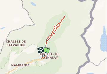
Trail Walking of 10.7 km to be discovered at Auvergne-Rhône-Alpes, Upper Savoy, Sixt-Fer-à-Cheval. This trail is proposed by so.duchateau.

Description

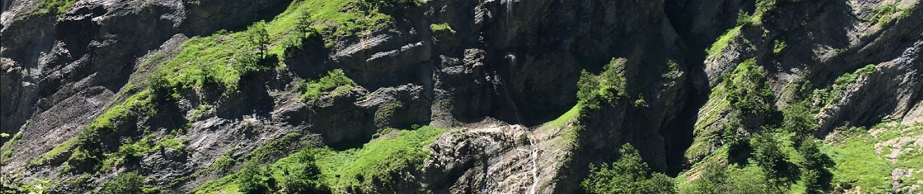
Dans le cirque de Sixt-Fer-à-Cheval. Chemin assez large et fort fréquenté mais paysage magnifique. Névés encore présents lors de notre passage début juillet 2020. 450m de dénivelé a peu près. Le final est costaud!

Elevation profile

Photos

Positioning

Country:
France
Region :
Auvergne-Rhône-Alpes
Department/Province :
Upper Savoy
Municipality :
Sixt-Fer-à-Cheval
Location:
Unknown
Start:(UTM)
332753 ; 5104968 (32T) N.


Close
My subscriptions