


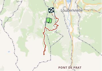
Lac des Sarrouyes montée télésiège

kephas
User

Length
11 km

Max alt
2173 m

Uphill gradient
425 m
Km-Effort
18.2 km

Min alt
1442 m

Downhill gradient
884 m
Boucle
No
Creation date :
2020-07-09 07:13:49.534
Updated on :
2020-07-09 14:11:14.478
6h55
Difficulty : Medium

FREE GPS app for hiking
 SityTrail
IGN / Geographical institutes
SityTrail Plus
The world is yours!
About
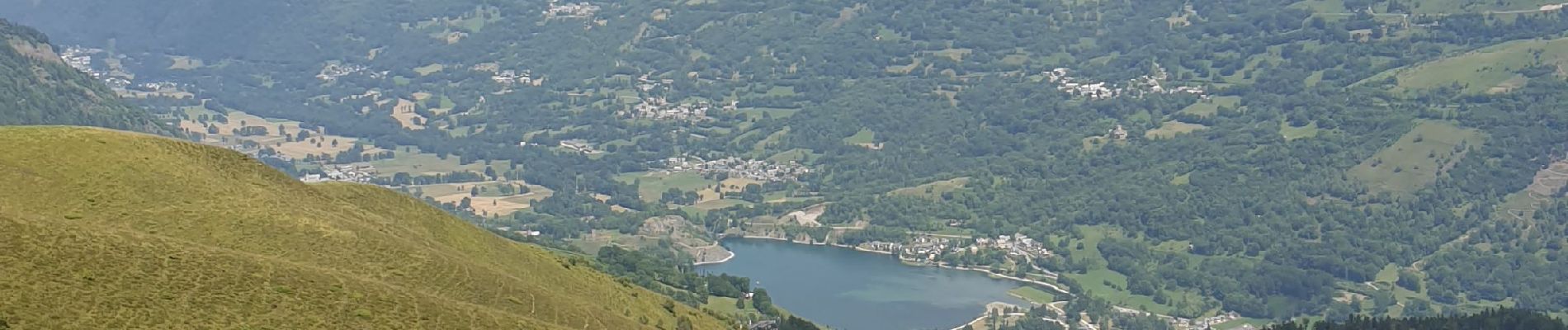
Trail Walking of 11 km to be discovered at Occitania, Hautespyrenees, Azet. This trail is proposed by kephas.
Description
A la rencontre des marmottes
Photos


Positioning
Country:
France
Region :
Occitania
Department/Province :
Hautespyrenees
Municipality :
Azet
Location:
Unknown
Start:(Dec)
Start:(UTM)
285595 ; 4739818 (31T) N.
Comments