


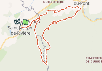

21 km | 37 km-effort

User


FREE GPS app for hiking
 SityTrail
IGN / Geographical institutes
SityTrail World
The world is yours!
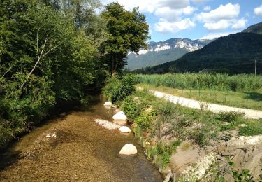
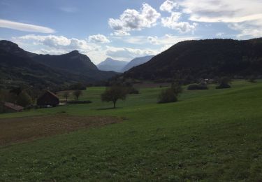
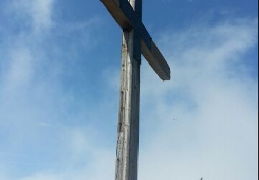
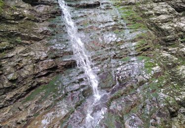
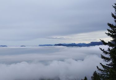
Trail Walking of 12.6 km to be discovered at Auvergne-Rhône-Alpes, Isère, Saint-Joseph-de-Rivière. This trail is proposed by floup6138.
A faire par temps chaud car de très nombreux passages à l'ombre. Le retour sur st joseph est en descente continue et le chemin peu balisé.


Horseback riding
Horseback riding
Walking
Walking
Walking
Walking
Other activity
Walking
Walking