


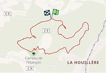


4.2 km | 5.8 km-effort

User


FREE GPS app for hiking
 SityTrail
IGN / Geographical institutes
SityTrail World
The world is yours!
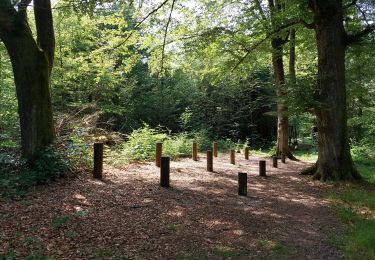
Trail Walking of 2.8 km to be discovered at Bourgogne-Franche-Comté, Haute-Saône, Ronchamp. This trail is proposed by Bart2015.
Rando à faire avec les enfants.
Bonne balade


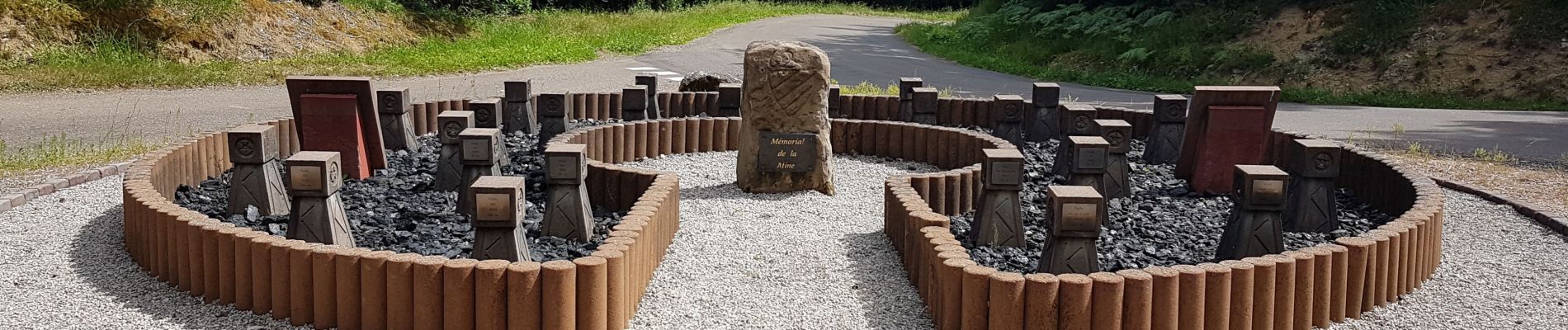
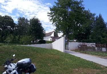
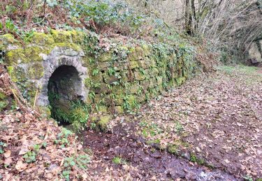
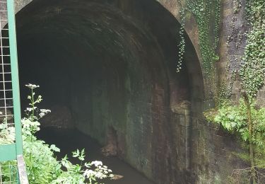
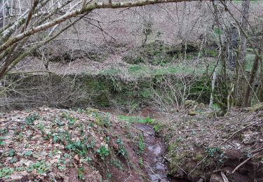
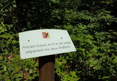
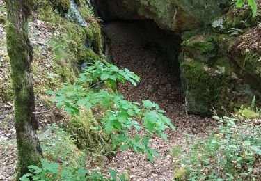
30 photos in total. Please click on a photo to see them all in the gallery.
Walking

Mountain bike
Walking
Walking
Walking

Walking
Walking
Walking
Walking