


Chemin des villages

so.duchateau
User

Length
7 km

Max alt
937 m

Uphill gradient
423 m
Km-Effort
12.9 km

Min alt
657 m

Downhill gradient
483 m
Boucle
No
Creation date :
2020-07-11 12:18:08.0
Updated on :
2020-07-11 14:28:29.323
2h09
Difficulty : Medium

FREE GPS app for hiking
 SityTrail
IGN / Geographical institutes
SityTrail Plus
The world is yours!
About
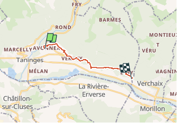
Trail Walking of 7 km to be discovered at Auvergne-Rhône-Alpes, Upper Savoy, Taninges. This trail is proposed by so.duchateau.
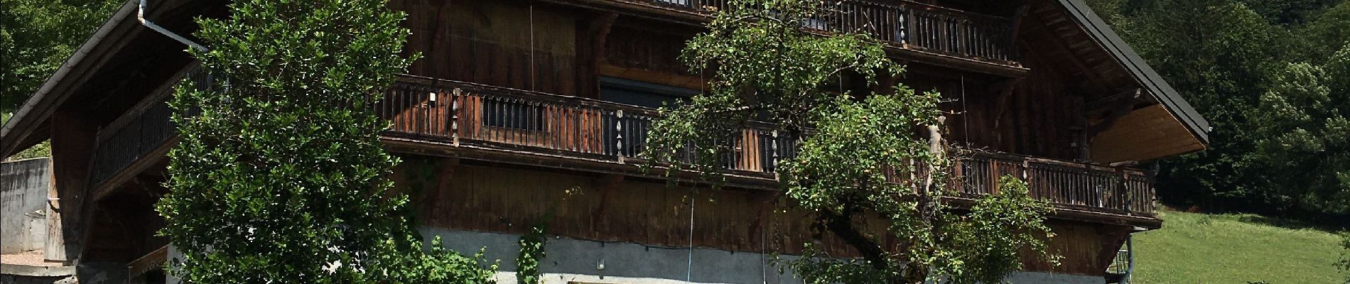
Photos

Positioning
Country:
France
Region :
Auvergne-Rhône-Alpes
Department/Province :
Upper Savoy
Municipality :
Taninges
Location:
Unknown
Start:(Dec)
Start:(UTM)
314710 ; 5109375 (32T) N.
Comments