


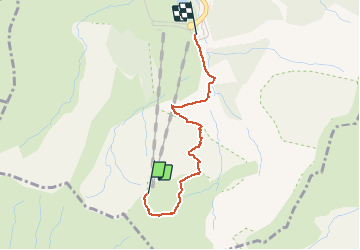
Descente du Sancy depuis la gare haute du téléphérique

walrou63
User


2h40
Difficulty : Difficult

FREE GPS app for hiking
 SityTrail
IGN / Geographical institutes
SityTrail Plus
The world is yours!
About
Trail Walking of 2.3 km to be discovered at Auvergne-Rhône-Alpes, Puy-de-Dôme, Mont-Dore. This trail is proposed by walrou63.
Description
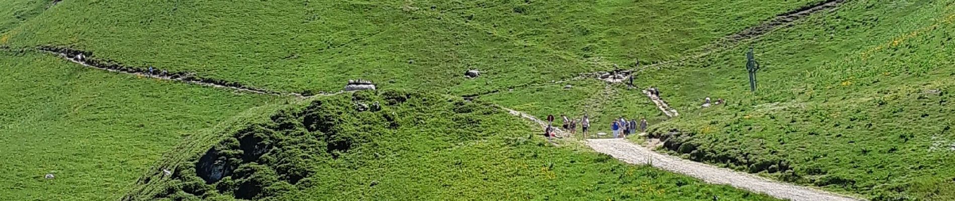
Première expérience montagnarde de Clément, notre petit-fils, 8 ans. Après avoir monté en téléphérique, descente par le chemin situé entre l'ancien téléphérique n°1 et le vallon où se trouve la cascade de la Dore. Quelques surplombs et des pentes caillouteuses et glissantes pour sa première. Les derniers hectomètres, et la maîtrise des bâtons et des appuis commençaient à être assimilés
Photos


Positioning
Comments