


Truc de la garde

FLORENSAC
User
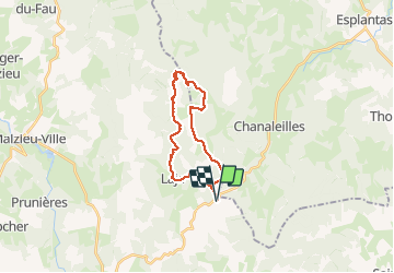

Length
23 km

Max alt
1484 m

Uphill gradient
537 m
Km-Effort
30 km

Min alt
1236 m

Downhill gradient
538 m
Boucle
Yes
Creation date :
2020-07-12 06:53:35.14
Updated on :
2020-07-12 19:43:16.51
8h13
Difficulty : Difficult

FREE GPS app for hiking
 SityTrail
IGN / Geographical institutes
SityTrail Plus
The world is yours!
About
Trail Walking of 23 km to be discovered at Occitania, Lozère, Lajo. This trail is proposed by FLORENSAC.
Description
chapelle st roch
lajo
truc de la garde
Positioning
Country:
France
Region :
Occitania
Department/Province :
Lozère
Municipality :
Lajo
Location:
Unknown
Start:(Dec)
Start:(UTM)
535965 ; 4963873 (31T) N.
Comments