


Vers l’Hers

richardsimopons
User
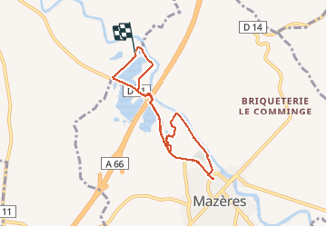

Length
7.5 km

Max alt
241 m

Uphill gradient
52 m
Km-Effort
8.2 km

Min alt
217 m

Downhill gradient
52 m
Boucle
Yes
Creation date :
2020-07-13 06:28:16.0
Updated on :
2020-07-13 08:14:53.529
1h38
Difficulty : Unknown

FREE GPS app for hiking
 SityTrail
IGN / Geographical institutes
SityTrail Plus
The world is yours!
About
Trail Walking of 7.5 km to be discovered at Occitania, Haute-Garonne, Calmont. This trail is proposed by richardsimopons.
Description
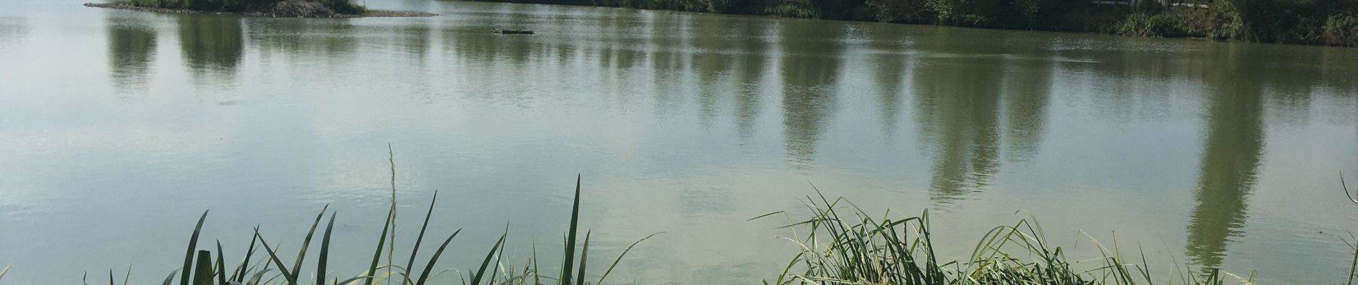
Les Oiseaux. l’Hers , Mazères puis retour voiture.
Photos


Positioning
Country:
France
Region :
Occitania
Department/Province :
Haute-Garonne
Municipality :
Calmont
Location:
Unknown
Start:(Dec)
Start:(UTM)
391395 ; 4791752 (31T) N.
Comments