


35.241 Turnhout - Geleg

ADL339
User
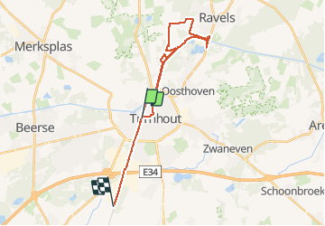

Length
24 km

Max alt
40 m

Uphill gradient
119 m
Km-Effort
25 km

Min alt
17 m

Downhill gradient
124 m
Boucle
No
Creation date :
2020-07-13 05:54:08.0
Updated on :
2020-07-13 11:26:23.187
5h26
Difficulty : Medium

FREE GPS app for hiking
 SityTrail
IGN / Geographical institutes
SityTrail Plus
The world is yours!
About
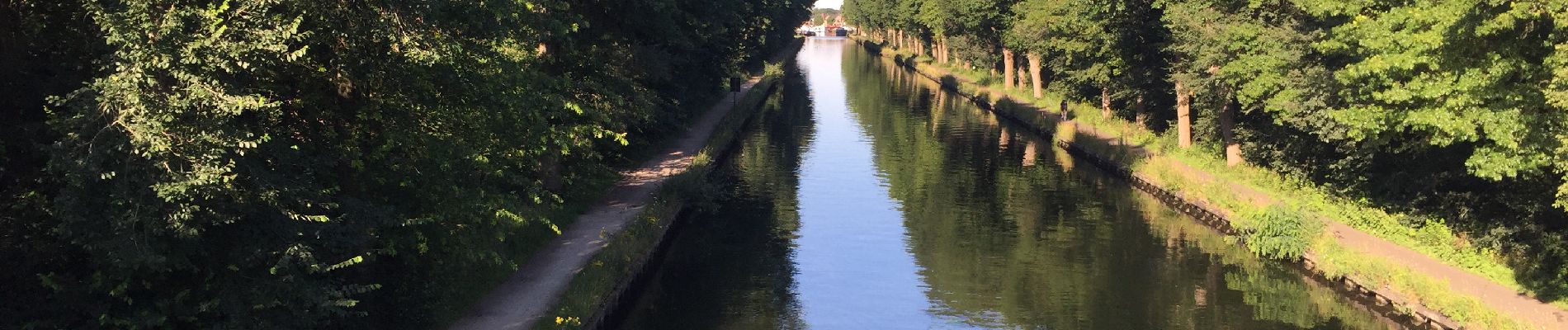
Trail Walking of 24 km to be discovered at Flanders, Antwerp, Turnhout. This trail is proposed by ADL339.
Photos


Positioning
Country:
Belgium
Region :
Flanders
Department/Province :
Antwerp
Municipality :
Turnhout
Location:
Turnhout
Start:(Dec)
Start:(UTM)
635075 ; 5687614 (31U) N.
Comments
Promenade :13.07.2020