


Lac de Crop

ezorzet
User


Length
10.4 km

Max alt
2045 m

Uphill gradient
748 m
Km-Effort
20 km

Min alt
1302 m

Downhill gradient
759 m
Boucle
Yes
Creation date :
2020-07-13 05:51:41.39
Updated on :
2020-07-13 20:41:01.281
--
Difficulty : Medium
5h21
Difficulty : Medium

FREE GPS app for hiking
 SityTrail
IGN / Geographical institutes
SityTrail Plus
The world is yours!
About
Trail On foot of 10.4 km to be discovered at Auvergne-Rhône-Alpes, Isère, Laval-en-Belledonne. This trail is proposed by ezorzet.
Description
magnifique randonnée.
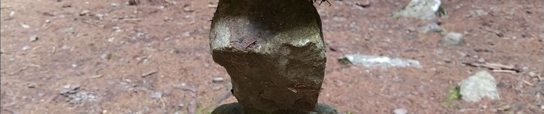
Photos


Positioning
Country:
France
Region :
Auvergne-Rhône-Alpes
Department/Province :
Isère
Municipality :
Laval-en-Belledonne
Location:
Unknown
Start:(Dec)
Start:(UTM)
735054 ; 5012551 (31T) N.
Comments