


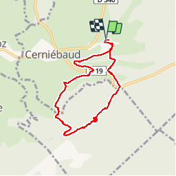


22 km | 29 km-effort

User


FREE GPS app for hiking
 SityTrail
IGN / Geographical institutes
SityTrail World
The world is yours!
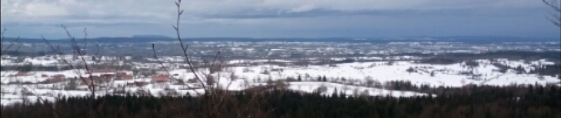
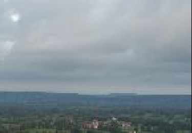
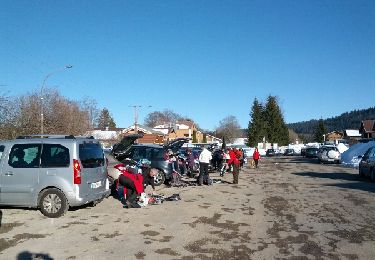
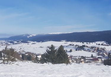
Trail Snowshoes of 8.7 km to be discovered at Bourgogne-Franche-Comté, Jura, Cerniébaud. This trail is proposed by albert39.
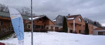
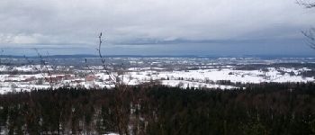
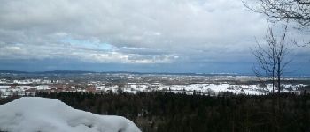
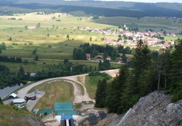
Départ Chalet de la Haute-Joux, circuit N°7 : Le Pélerin, D:7,6km, Dénivelé:220m, La combe des eaux, Forêt du Prince, Belvédère du Mouflon (1110m), casse-coûte au Gîte salle hors sac.


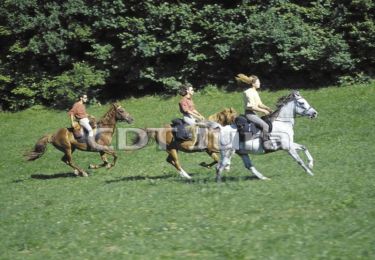
Equestrian
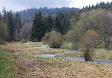
On foot
Walking
Snowshoes
Snowshoes
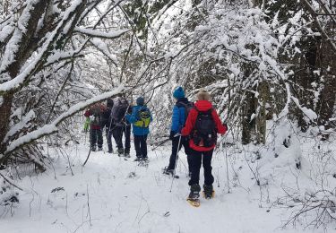
Snowshoes
Walking
Walking

Equestrian