


Col de Seoune Lambruisse

harydh
User GUIDE
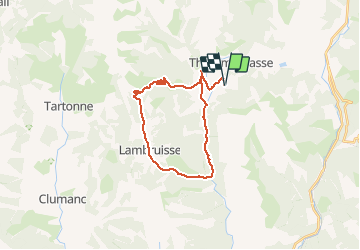

Length
26 km

Max alt
1388 m

Uphill gradient
537 m
Km-Effort
33 km

Min alt
1009 m

Downhill gradient
537 m
Boucle
Yes
Creation date :
2020-07-14 08:15:41.007
Updated on :
2020-07-14 11:48:40.644
3h31
Difficulty : Medium

FREE GPS app for hiking
 SityTrail
IGN / Geographical institutes
SityTrail Plus
The world is yours!
About
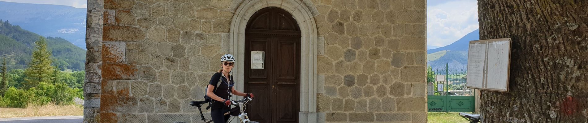
Trail Mountain bike of 26 km to be discovered at Provence-Alpes-Côte d'Azur, Alpes-de-Haute-Provence, Thorame-Basse. This trail is proposed by harydh.
Photos


Positioning
Country:
France
Region :
Provence-Alpes-Côte d'Azur
Department/Province :
Alpes-de-Haute-Provence
Municipality :
Thorame-Basse
Location:
Unknown
Start:(Dec)
Start:(UTM)
299479 ; 4883786 (32T) N.
Comments