


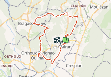

14.2 km | 18.1 km-effort


User


FREE GPS app for hiking
 SityTrail
IGN / Geographical institutes
SityTrail World
The world is yours!
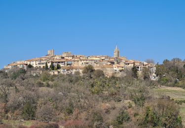
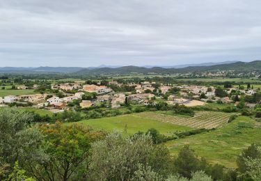
Trail Walking of 18.7 km to be discovered at Occitania, Gard, Cannes-et-Clairan. This trail is proposed by grageot.
5h un peu de. bartasse 21e partie
,

Walking
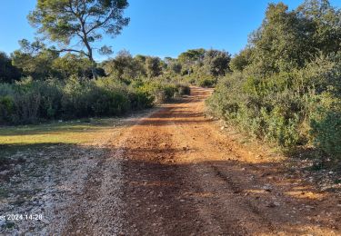
Walking

Walking

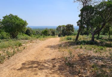
Walking
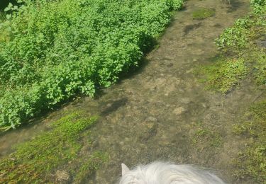
Horseback riding
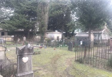
Walking