


Chasse

harydh
User GUIDE
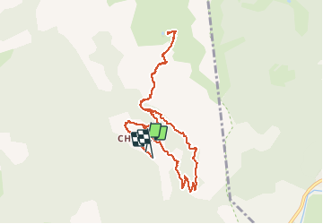

Length
10.8 km

Max alt
1984 m

Uphill gradient
658 m
Km-Effort
19.5 km

Min alt
1387 m

Downhill gradient
657 m
Boucle
Yes
Creation date :
2020-07-17 08:32:49.216
Updated on :
2020-07-17 13:25:57.512
4h33
Difficulty : Easy

FREE GPS app for hiking
 SityTrail
IGN / Geographical institutes
SityTrail Plus
The world is yours!
About
Trail Walking of 10.8 km to be discovered at Provence-Alpes-Côte d'Azur, Alpes-de-Haute-Provence, Villars-Colmars. This trail is proposed by harydh.
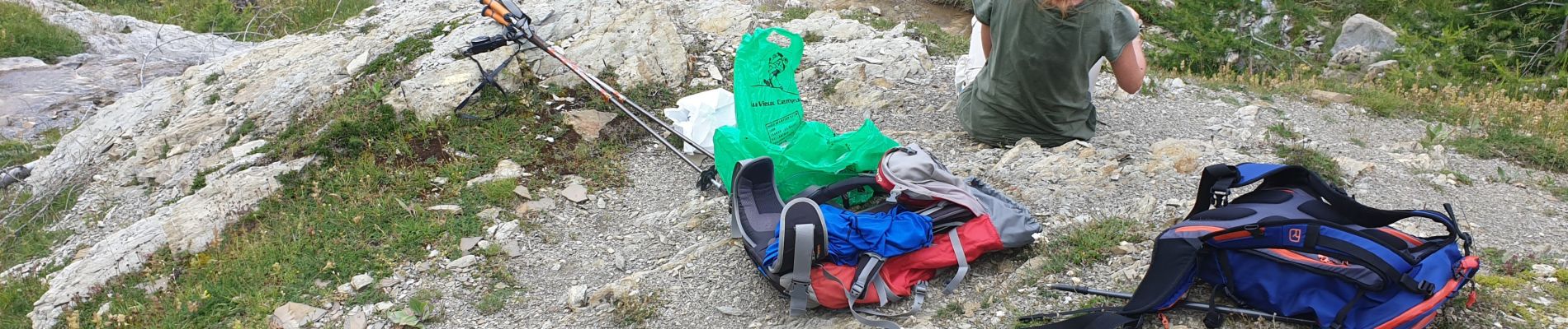
Photos


31 photos in total. Please click on a photo to see them all in the gallery.
Positioning
Country:
France
Region :
Provence-Alpes-Côte d'Azur
Department/Province :
Alpes-de-Haute-Provence
Municipality :
Villars-Colmars
Location:
Unknown
Start:(Dec)
Start:(UTM)
307240 ; 4895153 (32T) N.
Comments