


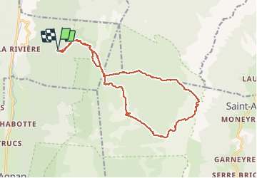
Balcons Est des Hauts Plateaux

ajd26
User

Length
18.4 km

Max alt
1946 m

Uphill gradient
875 m
Km-Effort
30 km

Min alt
1300 m

Downhill gradient
875 m
Boucle
Yes
Creation date :
2020-07-16 06:45:20.0
Updated on :
2020-07-27 14:25:53.965
6h00
Difficulty : Difficult

FREE GPS app for hiking
 SityTrail
IGN / Geographical institutes
SityTrail Plus
The world is yours!
About
Trail Walking of 18.4 km to be discovered at Auvergne-Rhône-Alpes, Drôme, La Chapelle-en-Vercors. This trail is proposed by ajd26.
Description
rando faite par temps brumeux, visibilité nulle, dommage
qlq soucis pour trouver la cabane de l'Etoupe qui est le point de départ du sentier de retour
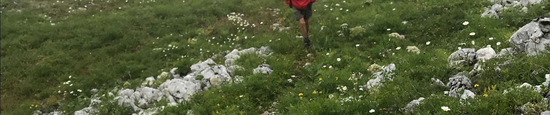
Photos


Positioning
Country:
France
Region :
Auvergne-Rhône-Alpes
Department/Province :
Drôme
Municipality :
La Chapelle-en-Vercors
Location:
Unknown
Start:(Dec)
Start:(UTM)
693875 ; 4983699 (31T) N.
Comments