


12 km | 18.1 km-effort

User


FREE GPS app for hiking
 SityTrail
IGN / Geographical institutes
SityTrail World
The world is yours!
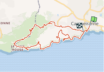
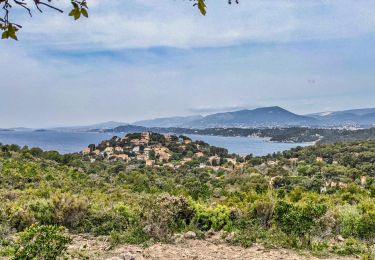
Trail Walking of 14.3 km to be discovered at Provence-Alpes-Côte d'Azur, Var, Carqueiranne. This trail is proposed by cousam.
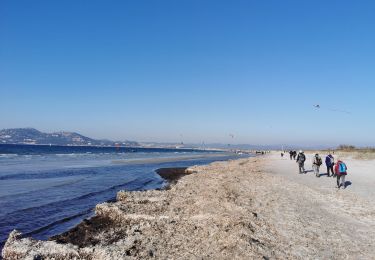
Le sentier litoral (marqué PR variante sur la carte et le guide sentier du littoral 2018) n'existe plus. Ce sont des propriétées privées.
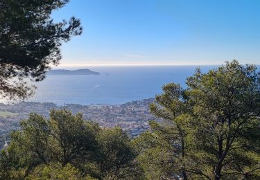
La partie après la mine est bien passé part les forts Gavaresse, Collé Noir, et de la Bayarde.


Walking

On foot
Walking
Walking
Walking
Walking
Walking
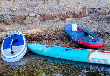
Canoe - kayak

Walking