


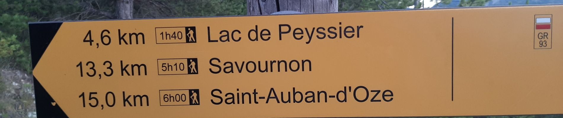
ESPARON 05 . Lac de Peyssier . Col de Peyssier o s

RobinMicheline
User GUIDE
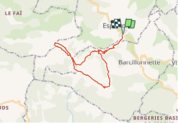

Length
15.9 km

Max alt
1449 m

Uphill gradient
700 m
Km-Effort
25 km

Min alt
935 m

Downhill gradient
698 m
Boucle
Yes
Creation date :
2020-07-18 03:56:32.714
Updated on :
2020-07-18 15:57:24.919
4h38
Difficulty : Difficult

FREE GPS app for hiking
 SityTrail
IGN / Geographical institutes
SityTrail Plus
The world is yours!
About
Trail Walking of 15.9 km to be discovered at Provence-Alpes-Côte d'Azur, Hautes-Alpes, Esparron. This trail is proposed by RobinMicheline.
Description
Agreable
Photos


Positioning
Country:
France
Region :
Provence-Alpes-Côte d'Azur
Department/Province :
Hautes-Alpes
Municipality :
Esparron
Location:
Unknown
Start:(Dec)
Start:(UTM)
731341 ; 4925843 (31T) N.
Comments