


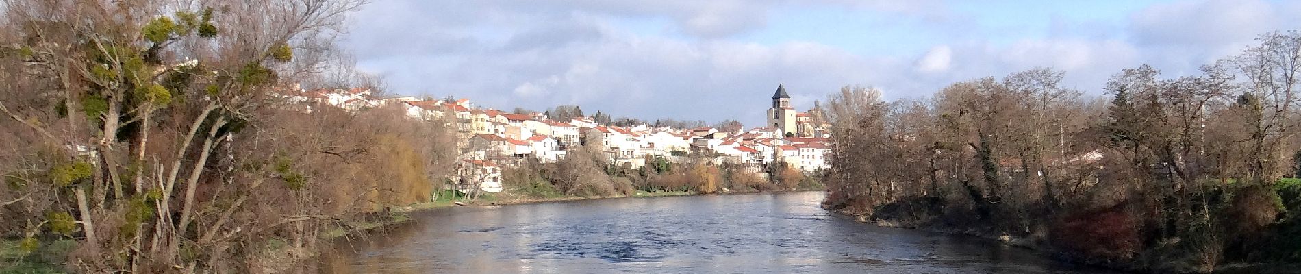
Pont_Chateau_Machal_Cortal

jagarnier
User GUIDE
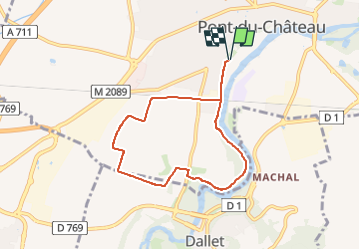


2h00
Difficulty : Easy

FREE GPS app for hiking
 SityTrail
IGN / Geographical institutes
SityTrail Plus
The world is yours!
About
Trail Walking of 6.8 km to be discovered at Auvergne-Rhône-Alpes, Puy-de-Dôme, Pont-du-Château. This trail is proposed by jagarnier.
Description
Cette randonnée longe les bords de l’Allier, large et vif. Cette rivière à saumons traverse Pont-du-Château, cité qui posséde un riche patrimoine : deux églises, un château, un musée de la batellerie, …
Photos

Positioning
Comments