


LA FORET DE COURBANGES

walrou63
User


4h08
Difficulty : Difficult

FREE GPS app for hiking
 SityTrail
IGN / Geographical institutes
SityTrail Plus
The world is yours!
About
Trail Walking of 11.5 km to be discovered at Auvergne-Rhône-Alpes, Puy-de-Dôme, Saint-Victor-la-Rivière. This trail is proposed by walrou63.
Description
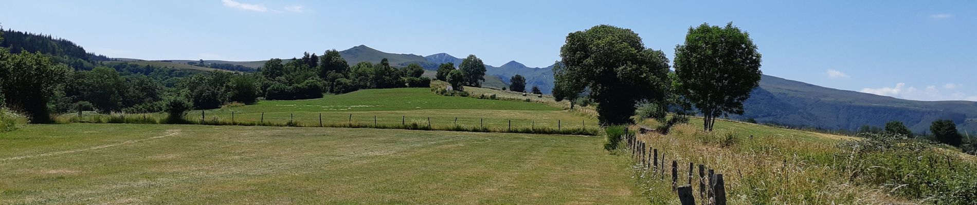
Départ de Courbanges au lieu de Saint-Victor-la-Rivière avec une variante de Saint-Victor jusqu'au point 4 de la randonnée n°18 décrite dans le guide CHAMINA " MASSIF DU SANCY ET ARTENSE". Pause casse-croûte après Saint-Victor, face au chateau de Murol ; puis passage à Jassat pour rejoindre le point 4. Rude montée après le passage sur la passerelle du ruisseau de Courbanges.
Photos


44 photos in total. Please click on a photo to see them all in the gallery.
Positioning
Comments