


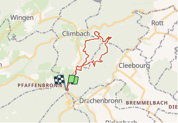
2020-07-21 Pfaffenschlick-Chapelle Climbach-Pfaffenschlick

maureengeorges
User

Length
11.1 km

Max alt
506 m

Uphill gradient
373 m
Km-Effort
16.1 km

Min alt
362 m

Downhill gradient
373 m
Boucle
Yes
Creation date :
2020-07-21 06:28:23.607
Updated on :
2020-07-21 13:25:22.769
3h18
Difficulty : Difficult

FREE GPS app for hiking
 SityTrail
IGN / Geographical institutes
SityTrail Plus
The world is yours!
About
Trail Walking of 11.1 km to be discovered at Grand Est, Bas-Rhin, Climbach. This trail is proposed by maureengeorges.
Positioning
Country:
France
Region :
Grand Est
Department/Province :
Bas-Rhin
Municipality :
Climbach
Location:
Unknown
Start:(Dec)
Start:(UTM)
415492 ; 5427183 (32U) N.
Comments