


la Bourboule Charlannes

ARVIEU
User
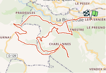

Length
16.7 km

Max alt
1187 m

Uphill gradient
451 m
Km-Effort
23 km

Min alt
848 m

Downhill gradient
446 m
Boucle
Yes
Creation date :
2020-07-21 11:25:24.135
Updated on :
2020-07-21 13:05:58.495
1h39
Difficulty : Medium

FREE GPS app for hiking
 SityTrail
IGN / Geographical institutes
SityTrail Plus
The world is yours!
About
Trail Mountain bike of 16.7 km to be discovered at Auvergne-Rhône-Alpes, Puy-de-Dôme, La Bourboule. This trail is proposed by ARVIEU.
Description
montée pentue
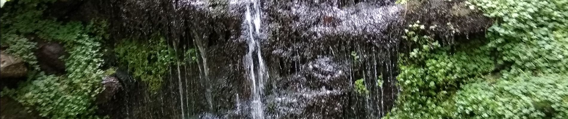
Photos

Positioning
Country:
France
Region :
Auvergne-Rhône-Alpes
Department/Province :
Puy-de-Dôme
Municipality :
La Bourboule
Location:
Unknown
Start:(Dec)
Start:(UTM)
480681 ; 5048422 (31T) N.
Comments