


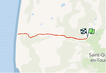

6 km | 6.1 km-effort

User


FREE GPS app for hiking
 SityTrail
IGN / Geographical institutes
SityTrail World
The world is yours!
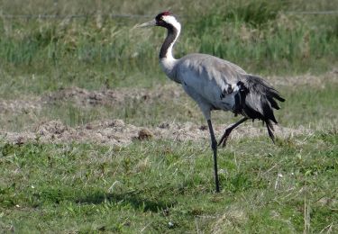
Trail Walking of 6.5 km to be discovered at Hauts-de-France, Somme, Saint-Quentin-en-Tourmont. This trail is proposed by Luc Gengoux.
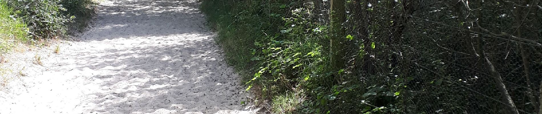
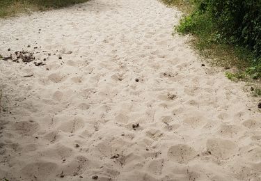
un aller-retour qui en vaut la peine ! Une difficulté, on ne marche que sur le sable.


Walking

Walking

Walking

Equestrian

Walking
Walking

On foot
Nordic walking