


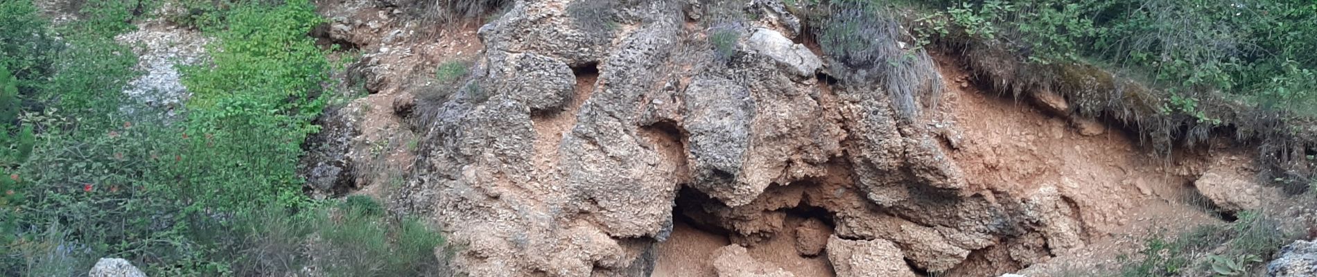
VALAVOIRE. Pas de Palabrouse. Fontaine de Pouille o l s

RobinMicheline
User GUIDE
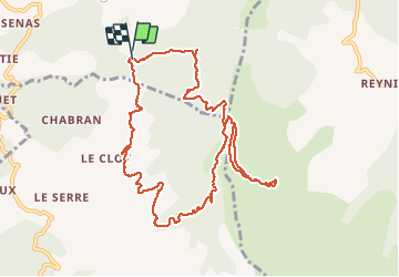

Length
11.9 km

Max alt
1478 m

Uphill gradient
590 m
Km-Effort
19.8 km

Min alt
944 m

Downhill gradient
588 m
Boucle
Yes
Creation date :
2020-07-23 04:29:55.781
Updated on :
2020-07-23 18:38:58.296
3h50
Difficulty : Medium

FREE GPS app for hiking
 SityTrail
IGN / Geographical institutes
SityTrail Plus
The world is yours!
About
Trail Walking of 11.9 km to be discovered at Provence-Alpes-Côte d'Azur, Alpes-de-Haute-Provence, Clamensane. This trail is proposed by RobinMicheline.
Description
Belle rando , belle vue au sommet
Photos


Positioning
Country:
France
Region :
Provence-Alpes-Côte d'Azur
Department/Province :
Alpes-de-Haute-Provence
Municipality :
Clamensane
Location:
Unknown
Start:(Dec)
Start:(UTM)
266663 ; 4910069 (32T) N.
Comments