


Saravillo Badain

harydh
User GUIDE
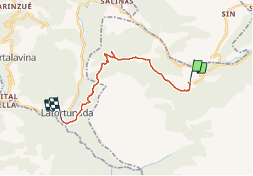

Length
10 km

Max alt
1326 m

Uphill gradient
395 m
Km-Effort
16.2 km

Min alt
720 m

Downhill gradient
674 m
Boucle
No
Creation date :
2020-07-23 08:30:52.961
Updated on :
2020-07-23 11:48:44.601
3h16
Difficulty : Easy

FREE GPS app for hiking
 SityTrail
IGN / Geographical institutes
SityTrail Plus
The world is yours!
About
Trail Walking of 10 km to be discovered at Aragon, Huesca, Plan. This trail is proposed by harydh.
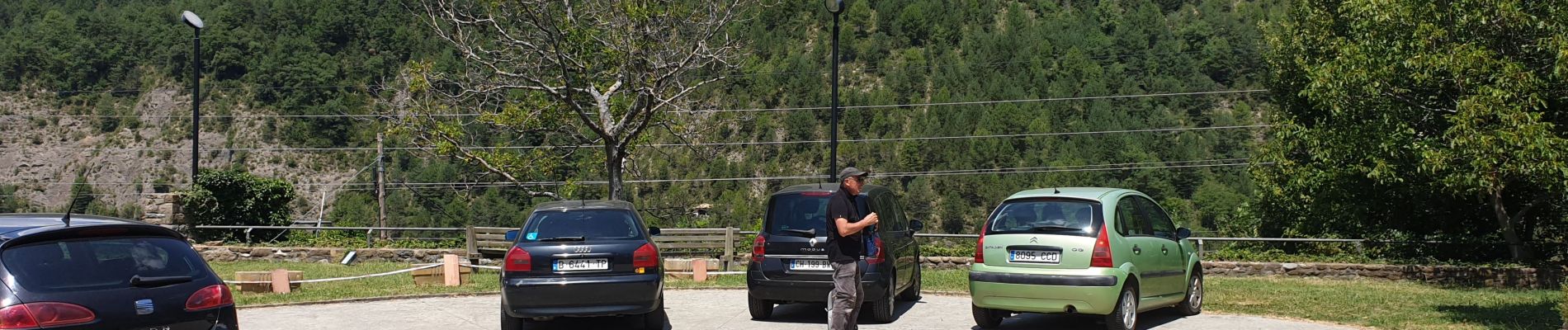
Photos


51 photos in total. Please click on a photo to see them all in the gallery.
Positioning
Country:
Spain
Region :
Aragon
Department/Province :
Huesca
Municipality :
Plan
Location:
Unknown
Start:(Dec)
Start:(UTM)
274855 ; 4715022 (31T) N.
Comments