


Le ruisseau de citelles (Alerac 26)

cousam
User
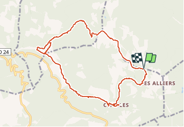

Length
10.9 km

Max alt
457 m

Uphill gradient
251 m
Km-Effort
14.2 km

Min alt
250 m

Downhill gradient
248 m
Boucle
Yes
Creation date :
2020-07-26 12:09:16.019
Updated on :
2020-07-26 15:32:18.687
2h48
Difficulty : Very easy

FREE GPS app for hiking
 SityTrail
IGN / Geographical institutes
SityTrail Plus
The world is yours!
About
Trail Walking of 10.9 km to be discovered at Auvergne-Rhône-Alpes, Drôme, Montjoyer. This trail is proposed by cousam.
Description
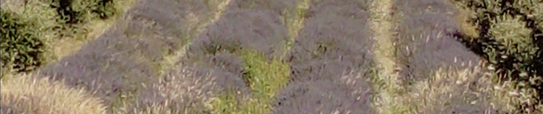
Boucle entre lavande et cigales
Citelles sa chapelle et sa cascade
St Basile et son cimetiere
Le ruisseau de Citelles jusqu'à la Calmette
Photos
 - Photo 1")
 - Photo 2")
 - Photo 3")
 - Photo 4")
 - Photo 5")
 - Photo 6")
 - Photo 7")
 - Photo 8")
 - Photo 9")
 - Photo 10")
Positioning
Country:
France
Region :
Auvergne-Rhône-Alpes
Department/Province :
Drôme
Municipality :
Montjoyer
Location:
Unknown
Start:(Dec)
Start:(UTM)
652348 ; 4928681 (31T) N.
Comments