


ecouges

aldaus
User
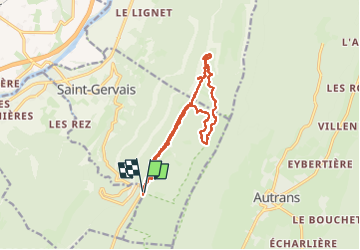

Length
16.1 km

Max alt
1290 m

Uphill gradient
583 m
Km-Effort
24 km

Min alt
892 m

Downhill gradient
582 m
Boucle
Yes
Creation date :
2020-07-26 07:59:38.61
Updated on :
2024-05-14 18:23:03.045
5h25
Difficulty : Very difficult

FREE GPS app for hiking
 SityTrail
IGN / Geographical institutes
SityTrail Plus
The world is yours!
About
Trail Walking of 16.1 km to be discovered at Auvergne-Rhône-Alpes, Isère, Saint-Gervais. This trail is proposed by aldaus.
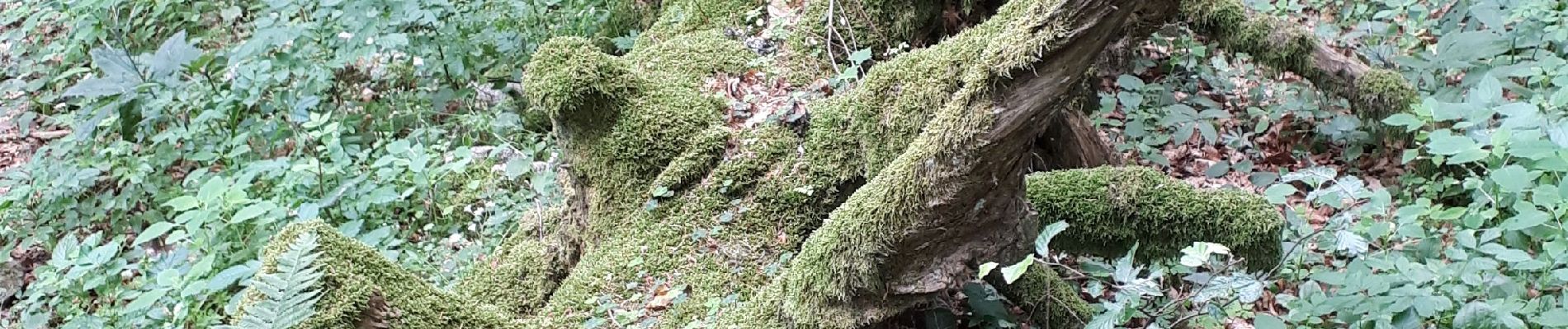
Photos


Positioning
Country:
France
Region :
Auvergne-Rhône-Alpes
Department/Province :
Isère
Municipality :
Saint-Gervais
Location:
Unknown
Start:(Dec)
Start:(UTM)
696322 ; 5005665 (31T) N.
Comments