


Château de Crussol

Roulland
User
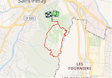

Length
2.8 km

Max alt
379 m

Uphill gradient
173 m
Km-Effort
5.1 km

Min alt
212 m

Downhill gradient
169 m
Boucle
Yes
Creation date :
2020-07-27 09:15:24.974
Updated on :
2020-07-27 10:25:21.11
58m
Difficulty : Very easy

FREE GPS app for hiking
 SityTrail
IGN / Geographical institutes
SityTrail Plus
The world is yours!
About
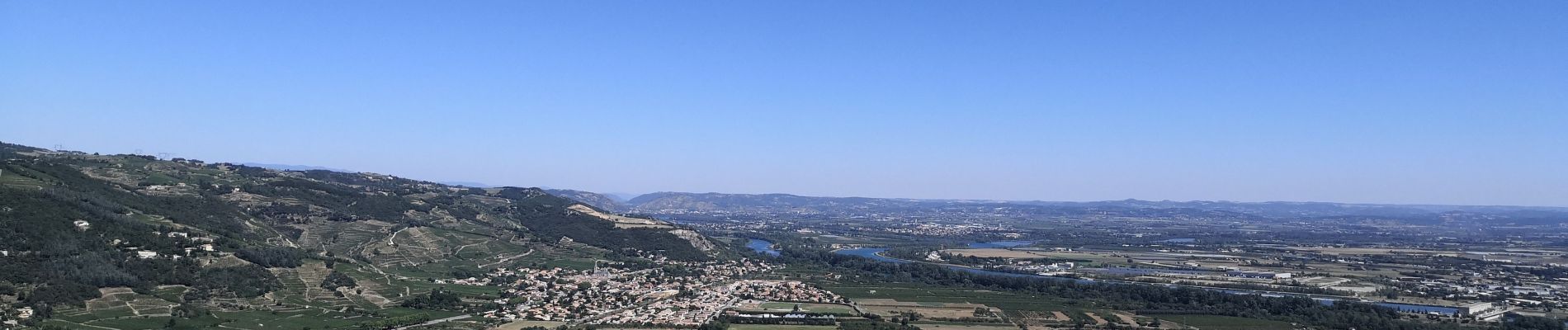
Trail Walking of 2.8 km to be discovered at Auvergne-Rhône-Alpes, Ardèche, Saint-Péray. This trail is proposed by Roulland.
Photos


Positioning
Country:
France
Region :
Auvergne-Rhône-Alpes
Department/Province :
Ardèche
Municipality :
Saint-Péray
Location:
Unknown
Start:(Dec)
Start:(UTM)
645838 ; 4978108 (31T) N.
Comments