


Cascade_de_Douvre_GPX

drarep
User
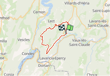

Length
20 km

Max alt
736 m

Uphill gradient
729 m
Km-Effort
30 km

Min alt
325 m

Downhill gradient
732 m
Boucle
Yes
Creation date :
2020-07-27 15:02:41.577
Updated on :
2020-07-27 15:06:28.504
6h16
Difficulty : Medium

FREE GPS app for hiking
 SityTrail
IGN / Geographical institutes
SityTrail Plus
The world is yours!
About
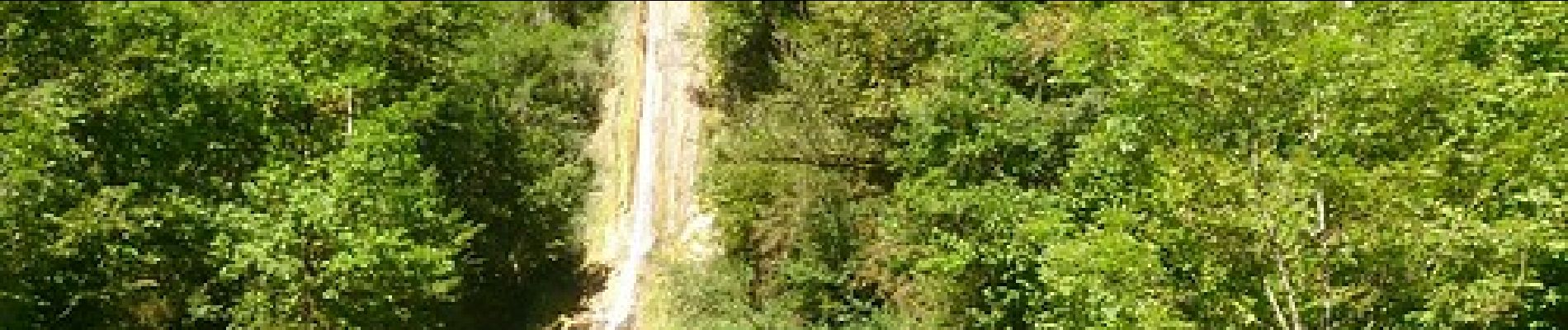
Trail Walking of 20 km to be discovered at Bourgogne-Franche-Comté, Jura, Jeurre. This trail is proposed by drarep.
Description
Proposé par Didier
Photos

Positioning
Country:
France
Region :
Bourgogne-Franche-Comté
Department/Province :
Jura
Municipality :
Jeurre
Location:
Unknown
Start:(Dec)
Start:(UTM)
708414 ; 5138420 (31T) N.
Comments