


Roppeviller

Specialized77
User GUIDE


Length
6.6 km

Max alt
399 m

Uphill gradient
154 m
Km-Effort
8.7 km

Min alt
321 m

Downhill gradient
155 m
Boucle
Yes
Creation date :
2020-07-28 06:18:46.907
Updated on :
2020-07-31 15:37:44.735
2h13
Difficulty : Easy

FREE GPS app for hiking
 SityTrail
IGN / Geographical institutes
SityTrail Plus
The world is yours!
About
Trail Walking of 6.6 km to be discovered at Grand Est, Moselle, Roppeviller. This trail is proposed by Specialized77.
Description
Sur la frontière franco-allemande
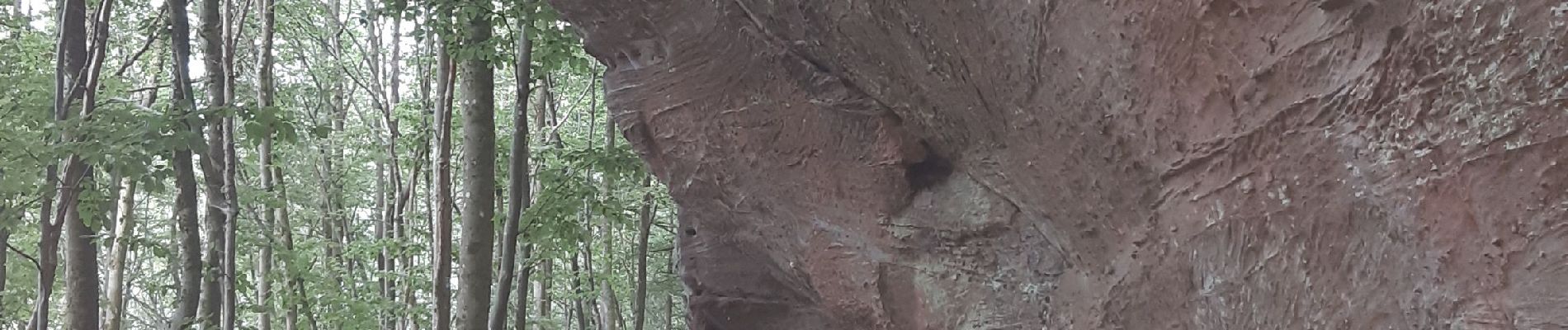
Photos


Positioning
Country:
France
Region :
Grand Est
Department/Province :
Moselle
Municipality :
Roppeviller
Location:
Unknown
Start:(Dec)
Start:(UTM)
392397 ; 5439709 (32U) N.
Comments