


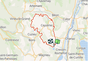

39 km | 54 km-effort


User


FREE GPS app for hiking
 SityTrail
IGN / Geographical institutes
SityTrail World
The world is yours!
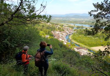
Trail Mountain bike of 30 km to be discovered at Auvergne-Rhône-Alpes, Ain, Pollieu. This trail is proposed by sandrine-s01.
Chavolay et le seran
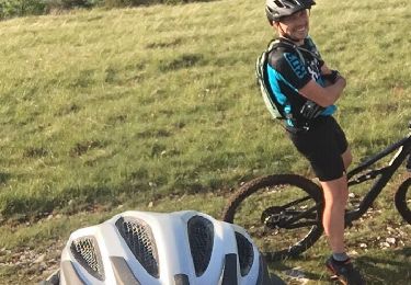
Mountain bike
Mountain bike

Mountain bike
Mountain bike
Road bike
Walking
Mountain bike
Mountain bike
Mountain bike
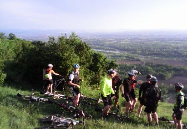
Très belle rando concocté par Malc. Assez roulant et très varié; pas de grosses difficultés mise à part la descente vers le km 18 (qq marches assez raides). Retour magnifique le long du Séran (attention aux trous)