


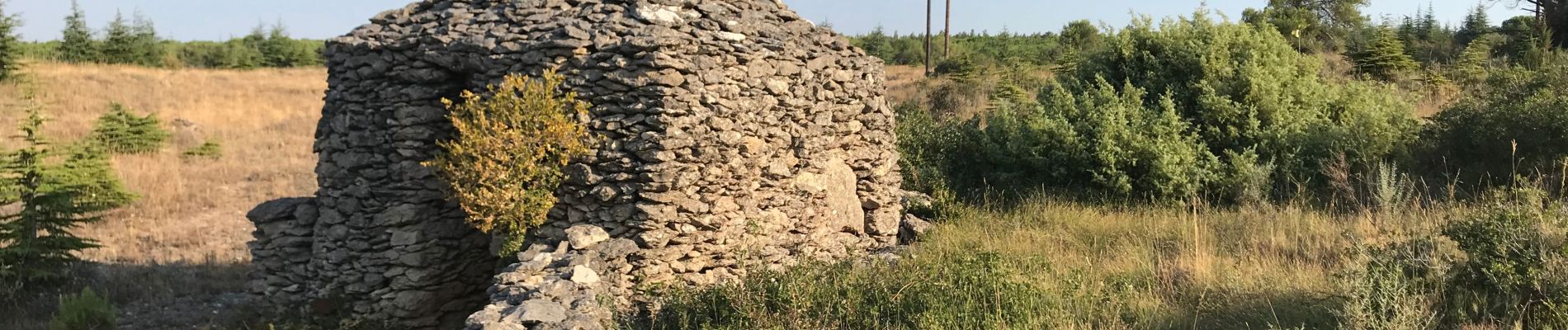
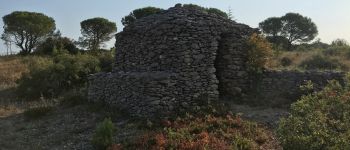
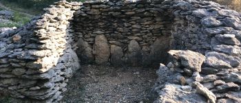
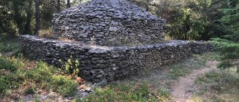
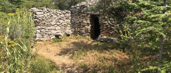
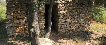
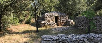
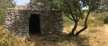
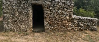
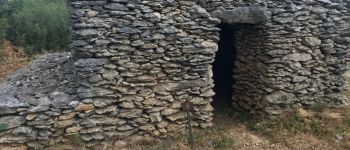
Mur_aribaud_capitelles_réel

jl_chocho
User
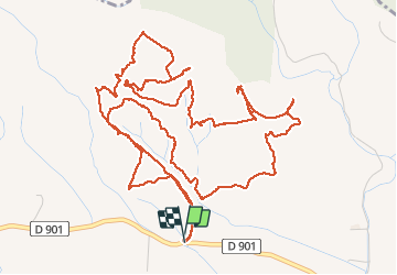

Length
9.5 km

Max alt
248 m

Uphill gradient
158 m
Km-Effort
11.6 km

Min alt
165 m

Downhill gradient
157 m
Boucle
Yes
Creation date :
2020-07-30 06:15:28.0
Updated on :
2020-07-30 19:46:27.783
3h21
Difficulty : Easy

FREE GPS app for hiking
 SityTrail
IGN / Geographical institutes
SityTrail Plus
The world is yours!
About
Trail Walking of 9.5 km to be discovered at Occitania, Aude, Conques-sur-Orbiel. This trail is proposed by jl_chocho.
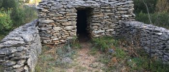
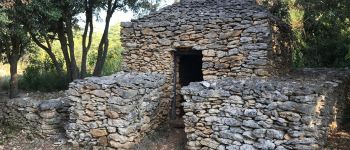
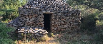
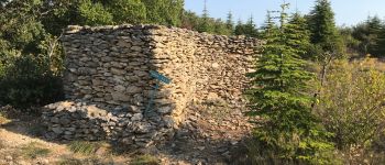
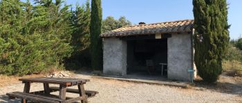
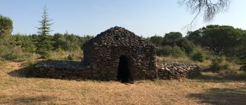
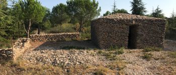
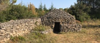
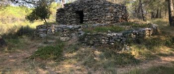
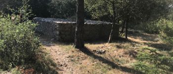
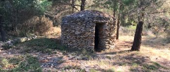
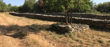
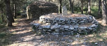
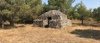
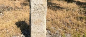
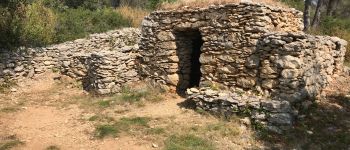
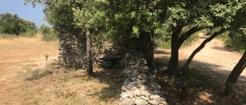
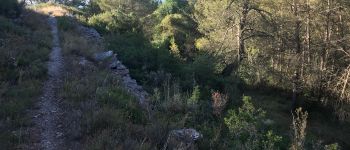
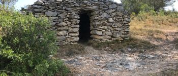
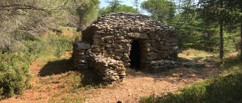
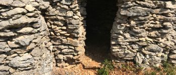
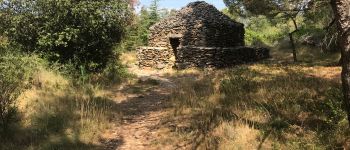
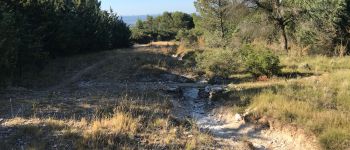
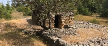
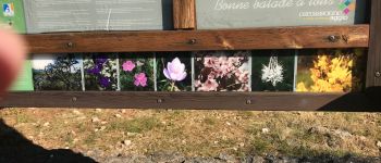
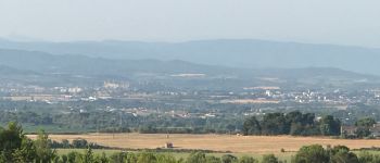
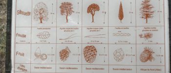
Photos


67 photos in total. Please click on a photo to see them all in the gallery.
Points of interest
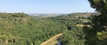
Positioning
Country:
France
Region :
Occitania
Department/Province :
Aude
Municipality :
Conques-sur-Orbiel
Location:
Unknown
Start:(Dec)
Start:(UTM)
449427 ; 4792763 (31T) N.
Comments