


Chateau de Craux 20200730

cmike39
User
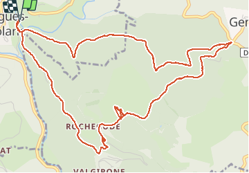

Length
7.6 km

Max alt
672 m

Uphill gradient
285 m
Km-Effort
11.4 km

Min alt
409 m

Downhill gradient
286 m
Boucle
Yes
Creation date :
2020-07-30 11:34:31.519
Updated on :
2020-07-30 14:20:38.474
1h59
Difficulty : Very easy

FREE GPS app for hiking
 SityTrail
IGN / Geographical institutes
SityTrail Plus
The world is yours!
About
Trail Walking of 7.6 km to be discovered at Auvergne-Rhône-Alpes, Ardèche, Vallées-d'Antraigues-Asperjoc. This trail is proposed by cmike39.
Positioning
Country:
France
Region :
Auvergne-Rhône-Alpes
Department/Province :
Ardèche
Municipality :
Vallées-d'Antraigues-Asperjoc
Location:
Antraigues-sur-Volane
Start:(Dec)
Start:(UTM)
607744 ; 4952643 (31T) N.
Comments