


col de bassachaux

olivieraron
User

Length
6.7 km

Max alt
2250 m

Uphill gradient
544 m
Km-Effort
14 km

Min alt
1789 m

Downhill gradient
545 m
Boucle
Yes
Creation date :
2020-07-31 16:19:58.231
Updated on :
2020-07-31 16:21:30.016
2h45
Difficulty : Difficult

FREE GPS app for hiking
 SityTrail
IGN / Geographical institutes
SityTrail Plus
The world is yours!
About
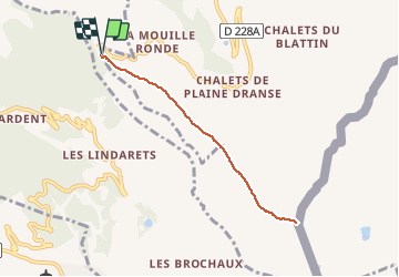
Trail Walking of 6.7 km to be discovered at Auvergne-Rhône-Alpes, Upper Savoy, Châtel. This trail is proposed by olivieraron.
Positioning
Country:
France
Region :
Auvergne-Rhône-Alpes
Department/Province :
Upper Savoy
Municipality :
Châtel
Location:
Unknown
Start:(Dec)
Start:(UTM)
328237 ; 5121057 (32T) N.
Comments