


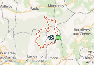

13.3 km | 17.8 km-effort


User


FREE GPS app for hiking
 SityTrail
IGN / Geographical institutes
SityTrail World
The world is yours!
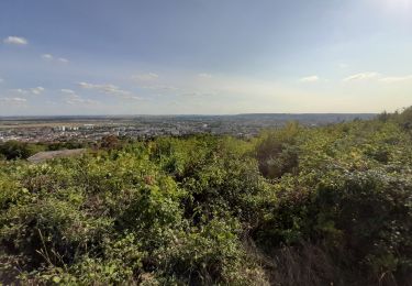
Trail Nordic walking of 12.4 km to be discovered at Grand Est, Meurthe-et-Moselle, Eulmont. This trail is proposed by DanielROLLET.
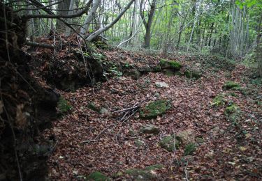
2020 08 01 - 08:50 à 11:30 - Marche nordique avec Rando54
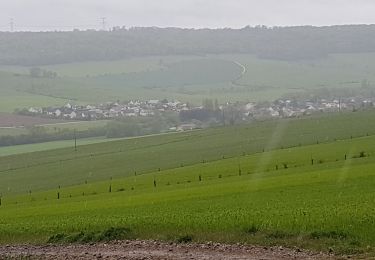
C'est un peu long.

On foot

On foot
On foot
On foot

Walking
Walking

Walking
Walking
Walking