


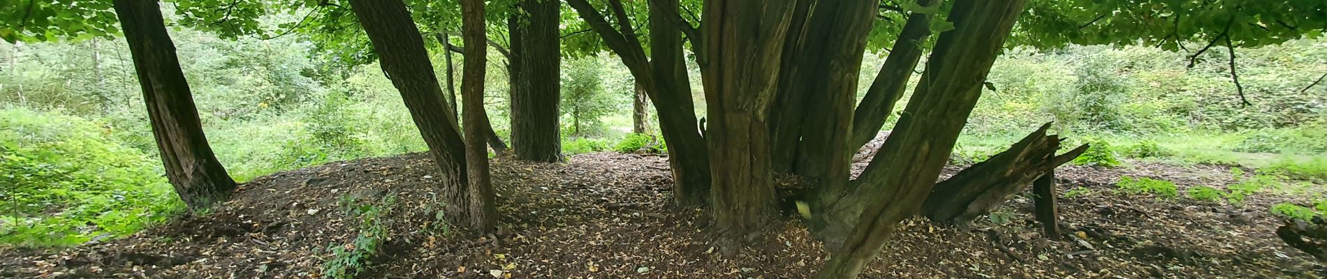
ochtend - foto - wandelen

r1150gs
User

Length
3.7 km

Max alt
11 m

Uphill gradient
20 m
Km-Effort
3.9 km

Min alt
0 m

Downhill gradient
22 m
Boucle
Yes
Creation date :
2020-08-02 05:40:50.181
Updated on :
2020-08-02 07:45:19.731
2h04
Difficulty : Very easy

FREE GPS app for hiking
 SityTrail
IGN / Geographical institutes
SityTrail Plus
The world is yours!
About
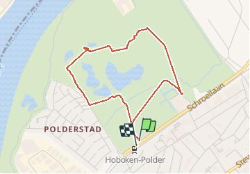
Trail Walking of 3.7 km to be discovered at Flanders, Antwerp, Antwerp. This trail is proposed by r1150gs.
Photos

Positioning
Country:
Belgium
Region :
Flanders
Department/Province :
Antwerp
Municipality :
Antwerp
Location:
Hoboken
Start:(Dec)
Start:(UTM)
594328 ; 5671153 (31U) N.
Comments