


Fontainebleau

Jethro Gene
User
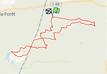

Length
12.4 km

Max alt
132 m

Uphill gradient
244 m
Km-Effort
15.6 km

Min alt
73 m

Downhill gradient
244 m
Boucle
Yes
Creation date :
2020-08-04 07:57:52.0
Updated on :
2020-08-04 14:40:55.96
4h07
Difficulty : Medium

FREE GPS app for hiking
 SityTrail
IGN / Geographical institutes
SityTrail Plus
The world is yours!
About
Trail Walking of 12.4 km to be discovered at Ile-de-France, Seine-et-Marne, Fontainebleau. This trail is proposed by Jethro Gene.
Description
4h-4h30 très jolie rando que j'avais récupérée sur Visorando - le GPS de Sitytrail a été indispensable car certains passages ne sont pas vraiment bien repérables...
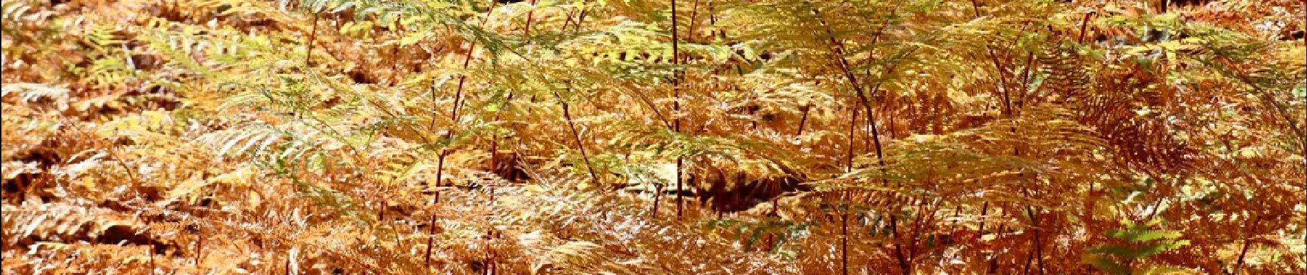
Photos


Positioning
Country:
France
Region :
Ile-de-France
Department/Province :
Seine-et-Marne
Municipality :
Fontainebleau
Location:
Unknown
Start:(Dec)
Start:(UTM)
470285 ; 5362070 (31U) N.
Comments