


Les Lacs de Pétarel

patjobou
User

Length
12.5 km

Max alt
2112 m

Uphill gradient
1055 m
Km-Effort
27 km

Min alt
1068 m

Downhill gradient
1060 m
Boucle
Yes
Creation date :
2020-08-06 07:00:26.113
Updated on :
2020-08-07 06:21:13.357
5h43
Difficulty : Difficult

FREE GPS app for hiking
 SityTrail
IGN / Geographical institutes
SityTrail Plus
The world is yours!
About
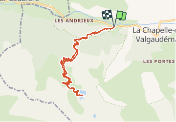
Trail Walking of 12.5 km to be discovered at Provence-Alpes-Côte d'Azur, Hautes-Alpes, La Chapelle-en-Valgaudémar. This trail is proposed by patjobou.
Description
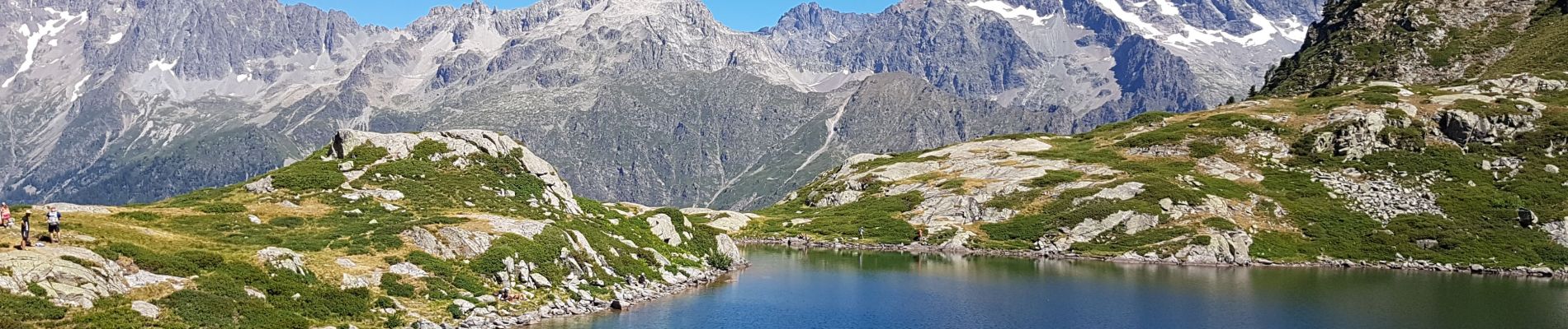
Une très belle sortie, face aux sommets de l'Oisan: Pic Turbat, Olan, Cime du Vallon, Rouies, Bans, Pic Jocelme. Montée soutenue par un sentier très bien tracé, et ombragé.
Photos


Positioning
Country:
France
Region :
Provence-Alpes-Côte d'Azur
Department/Province :
Hautes-Alpes
Municipality :
La Chapelle-en-Valgaudémar
Location:
Unknown
Start:(Dec)
Start:(UTM)
277069 ; 4966699 (32T) N.
Comments