


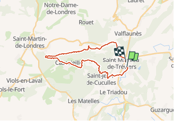
tour Pic St Loup vtt

ARVIEU
User

Length
28 km

Max alt
335 m

Uphill gradient
525 m
Km-Effort
35 km

Min alt
86 m

Downhill gradient
523 m
Boucle
No
Creation date :
2020-08-08 06:24:01.643
Updated on :
2020-08-08 11:17:22.976
3h34
Difficulty : Difficult

FREE GPS app for hiking
 SityTrail
IGN / Geographical institutes
SityTrail Plus
The world is yours!
About
Trail Mountain bike of 28 km to be discovered at Occitania, Hérault, Saint-Mathieu-de-Tréviers. This trail is proposed by ARVIEU.
Description
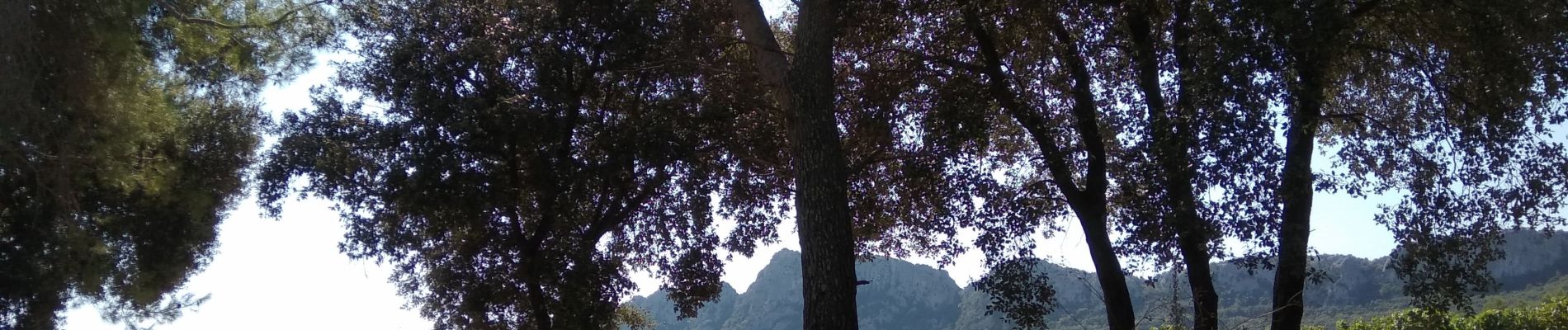
pierreux, portage, sentier ravines
Photos

Positioning
Country:
France
Region :
Occitania
Department/Province :
Hérault
Municipality :
Saint-Mathieu-de-Tréviers
Location:
Unknown
Start:(Dec)
Start:(UTM)
570093 ; 4846238 (31T) N.
Comments