


Le Valtin

oscar1
User
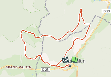

Length
11.6 km

Max alt
1127 m

Uphill gradient
594 m
Km-Effort
19.5 km

Min alt
762 m

Downhill gradient
594 m
Boucle
Yes
Creation date :
2020-08-09 07:49:50.957
Updated on :
2020-08-09 20:18:53.848
3h02
Difficulty : Medium

FREE GPS app for hiking
 SityTrail
IGN / Geographical institutes
SityTrail Plus
The world is yours!
About
Trail Walking of 11.6 km to be discovered at Grand Est, Vosges, Le Valtin. This trail is proposed by oscar1.
Description
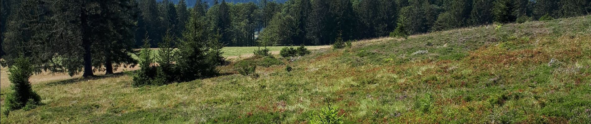
Au départ montée assez raide
Photos


Positioning
Country:
France
Region :
Grand Est
Department/Province :
Vosges
Municipality :
Le Valtin
Location:
Unknown
Start:(Dec)
Start:(UTM)
352593 ; 5328908 (32U) N.
Comments