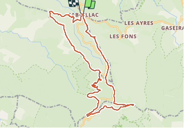

15 km | 22 km-effort

User GUIDE


FREE GPS app for hiking
 SityTrail
IGN / Geographical institutes
SityTrail World
The world is yours!
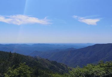
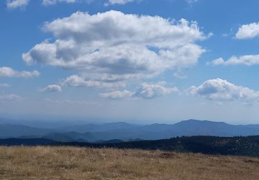
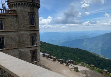
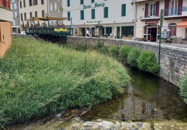
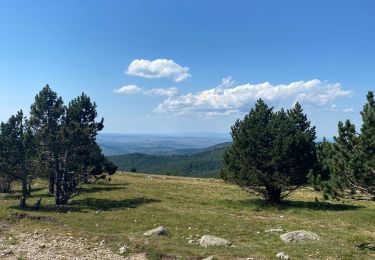
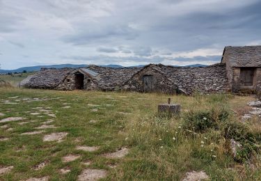
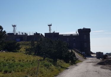
Trail Walking of 24 km to be discovered at Occitania, Lozère, Rousses. This trail is proposed by nadinebondoux.
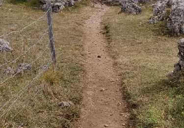
Demarrer à Cabrillac . Possible en été


Walking
Walking
Walking
Walking
Walking
Walking

Walking
Walking