


Refuge de Laval - cascade de Fontcouverte - Névache

Mimicrea
User
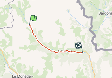

Length
14.2 km

Max alt
2028 m

Uphill gradient
73 m
Km-Effort
16.8 km

Min alt
1551 m

Downhill gradient
545 m
Boucle
No
Creation date :
2020-08-09 11:50:24.0
Updated on :
2020-08-09 18:12:23.962
6h12
Difficulty : Medium

FREE GPS app for hiking
 SityTrail
IGN / Geographical institutes
SityTrail Plus
The world is yours!
About
Trail Walking of 14.2 km to be discovered at Provence-Alpes-Côte d'Azur, Hautes-Alpes, Névache. This trail is proposed by Mimicrea.
Description
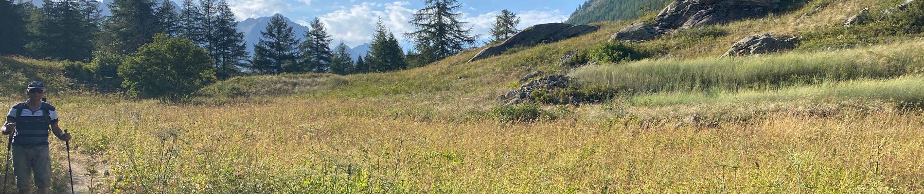
Navette jusqu’à Laval puis descente jusqu’à Névache magnifique balade.
Photos


Positioning
Country:
France
Region :
Provence-Alpes-Côte d'Azur
Department/Province :
Hautes-Alpes
Municipality :
Névache
Location:
Unknown
Start:(Dec)
Start:(UTM)
305172 ; 4992533 (32T) N.
Comments