


Le puy de la tuile

nicolasdresse
User
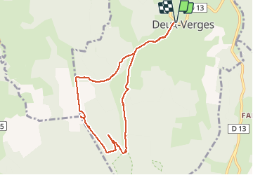

Length
9.1 km

Max alt
1289 m

Uphill gradient
269 m
Km-Effort
12.7 km

Min alt
1029 m

Downhill gradient
268 m
Boucle
Yes
Creation date :
2020-08-10 09:59:28.0
Updated on :
2020-08-10 13:24:03.082
3h22
Difficulty : Unknown

FREE GPS app for hiking
 SityTrail
IGN / Geographical institutes
SityTrail Plus
The world is yours!
About
Trail Walking of 9.1 km to be discovered at Auvergne-Rhône-Alpes, Cantal, Deux-Verges. This trail is proposed by nicolasdresse.
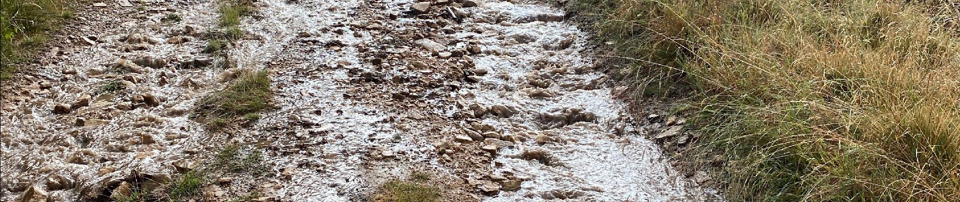
Photos


Positioning
Country:
France
Region :
Auvergne-Rhône-Alpes
Department/Province :
Cantal
Municipality :
Deux-Verges
Location:
Unknown
Start:(Dec)
Start:(UTM)
501759 ; 4961509 (31T) N.
Comments